BRIMBANK PARK RUINS
BRIMBANK PARK, WESTERN RING ROAD KEILOR EAST, BRIMBANK CITY
-
Add to tour
You must log in to do that.
-
Share
-
Shortlist place
You must log in to do that.
- Download report


Statement of Significance
Data has been updated as a result of the Outer Western Metro Project, Context, March 2010.
-
-
BRIMBANK PARK RUINS - History
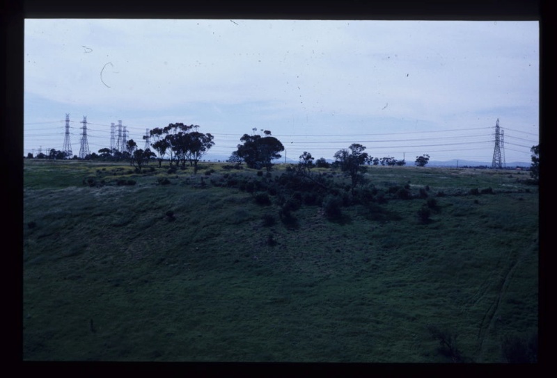
In partnership with his brother-in-law George Dodd, Henry Delahey is recorded as purchasing 588 acres in the Parish of Doutta Galla (Section 10), although he was evidently already occupying the land under a licence some time prior to 1848. Henry died in 1851 and his wife Mary was granted administration of his estate in the Supreme Court. Mary took over responsibility for her late husband's share in the partnership and expanded the farm holdings to over 1000 acres in the Parish of Maribyrnong, as well as other land at Parwan. A substantial part of the local population appears to have been relatives of the connected families, to the point that Mary Delahey and George Dodd had sponsored a private school in the area that is now Brimbank Park by 1853, as well as a Catholic church in Keilor. Mary died in 1876, and by 1892 the farm was divided into the property inherited by her son William to the west and George Dodd's farm to the east. In 1919 the Dodd property was subdivided again with the drystone wall snaking along the top of the gully, just east of the farm buildings forming the dividing line. At this time the valuation noted several buildings, including a stone dwelling, three-room weatherboard skillion, detached stone kitchen, stone dairy, stables, milk shed, feed house, pigsty and a weatherboard stable and cart shed. Following several more changes in ownership, the land was eventually resumed by the State Government in the 1970s for the future Brimbank Park which was created in the early 1970s. The Western Ring Road has since isolated the ruins of the Dodd farm buildings from the rest of Brimbank Park, although a footpath along the river provides access.
(Derived from the 2000 Brimbank City Council Post-contact Cultural Heritage Study)
BRIMBANK PARK RUINS - Interpretation of Site
The site includes structures and deposits relating to domestic occupation and pastoral activity from the middle of the 19th century until the 1970s, at which time the site was acquired by the State Government.
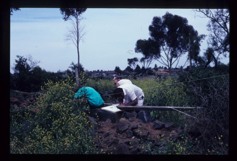
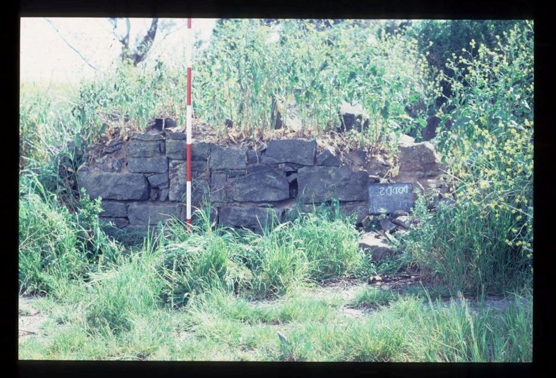
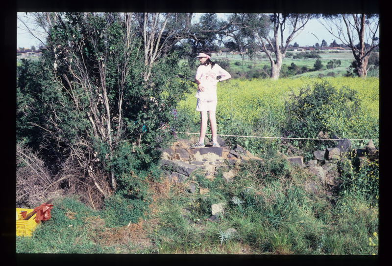
The site includes the remains of several bluestone structures amidst box thorn and peppercorn trees in its western corner which probably represent domestic structures, including house and separate kitchen building. These are accompanied by a bluestone-lined cistern and possibly and in-filled well. To the east, and seperated from the domestic buildings by a large expanse of blustone paving, lie the remains of a number of structures relating to contemporary and later agricultural activity. These include another bluestone structure, a later concrete 'piggery' with a related brick well and the concrete floors of several later buildings. A possible quarry lies to the east.
Further to the south east stand the remains of the drystone wall which seperated the farm plots in 1919, and would appear, from nearby finds, to have passed through an area used for dumping domestic rubbish. Beyond this, at the head of the small valley branching from that of the Maribyrnong, can be seen a stone revetment wall built into the slope, whichlikely supported a large barn, and a stone enclosure which probably represents a stock pen.BRIMBANK PARK RUINS - Archaeological Significance
The site contains both upstanding remains and demonstrable archaeological deposits relating to settlement and farming in the area from the middle of the 19th century. Although the area has been bulldozed in the past, with rubble and earth pushed up against the bluestone walls, and boxthorn is growing through the rubble, these activities have protected the site from human access and the site has remained relatively undisturbed. It is likely that subsurface deposits relating to domestic and agricultural activity survive within the site.
The site is of high archaeological significance.BRIMBANK PARK RUINS - Historical Significance
The ruins of the former Dodd farm are of regional historical significance for its association with the original European settlement and farming of the Maribyrnong Valley, and connections with the prominent local families, Dodds and Delahays. The site offers considerable scope for interpreting the history and environment of the area (within the context of Brimbank Park). Few sites relating to the first phase of settlement in the Melbourne region survive. Nearby is the cleared site of the Delahey farm, while the Dodd homestead in Brimbank Park offers some parallel, and several early bluestone homestead ruins have been identified in recent Heritage Studies on the upper Maribyrnong.
Heritage Inventory Description
BRIMBANK PARK RUINS - Heritage Inventory Description
Homestead complex including several bluestone ruins, an in-filled well and large area of paving. Also a ruinous later piggery and brick cistern, a possible barn foundation and stock enclosure lie to the south east, at the head of the valley.
-
-
-
-
-
ALBION VIADUCT
 Victorian Heritage Register H1197
 -
BRIMBANK PARK RUINS
 Victorian Heritage Inventory
 -
Albion Viaduct
 National Trust H1197
-
-


