ALLUVIAL GOLD MINING REMAINS, END BLUE HOUSE ROAD
125 BLUE HOUSE ROAD PANTON HILL, NILLUMBIK SHIRE
-
Add to tour
You must log in to do that.
-
Share
-
Shortlist place
You must log in to do that.
- Download report


Statement of Significance
REVISED STATEMENT OF SIGNIFICANCE, CONTEXT, 2009
What is significant?
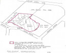
All gold mining remains (mullock heaps, shaft remains, evidence of excavations and eroded gullies) and the surrounding site to a radius of 20 metres from the outer edge of those remains.
How is it significant?
The remains are historically significant to the Shire of Nillumbik.
Why is it significant?
The site is historically significant because it contains the best alluvial gold mining remains in the Shire of Nillumbik and because these remains serve as a reminder of the impact of gold mining on the settlement of St Andrews (Queenstown) during the second half of the 19th century (Criteria A, B & D).
-
-
ALLUVIAL GOLD MINING REMAINS, END BLUE HOUSE ROAD - Historical Australian Themes
GOLD MINING
3.3.3 Prospecting for precious metals
3.4 Utilising natural resources
3.4.3 MiningALLUVIAL GOLD MINING REMAINS, END BLUE HOUSE ROAD - Physical Description 1
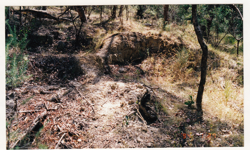
The Blue House Road goldmining remains are situated on the southern bank of the watercourse which runs into the Long Gully Creek. The remains comprise mullock heaps, evidence of excavations and now eroded gullies.
ALLUVIAL GOLD MINING REMAINS, END BLUE HOUSE ROAD - Usage/Former Usage
Original Use: Alluvial Goldmining along the banks of the watercourse
Present Use: Disused
Heritage Study and Grading
Nillumbik - Shire of Eltham Heritage Study
Author: David Bick
Year: 1992
Grading:
-
-
-
-
-
LONG GULLY SETTLEMENT AND MINING RUINS
 Victorian Heritage Inventory
 -
YANGGAI GOLD MINING AREA
 Victorian Heritage Inventory
 -
BULWIDJ GOLD MINE SHAFT
 Victorian Heritage Inventory
-
1) WEATHERBOARD FARM HOUSE AND 2) THE OUTBUILDINGS
 Nillumbik Shire
-
-


