Koo-wee-rup swamp drains & timber bridges
Varies KOO WEE RUP, Cardinia Shire
-
Add to tour
You must log in to do that.
-
Share
-
Shortlist place
You must log in to do that.
- Download report


Statement of Significance
These drains and timber bridges (some from the 1930s and others perhaps earlier), are significant to the Cardinia Shire as evidence of the massive swamp drainage project carried out there and the eventual development of transport networks when the swamp was turned into rich farming land. This project, carried under the direction and design of the Public Works Department was one of the largest undertakings by the Victorian Government. Identified timber bridges evoke the early period of swamp drainage and are generally notable for their age, judged among other bridges in the Shire. The timber construction being also evocative of the thriving local timber industry and plentiful supply.
Regional Significance
-
-
Koo-wee-rup swamp drains & timber bridges - Physical Description 1
(see Cardinia Shire Heritage Study,1996)
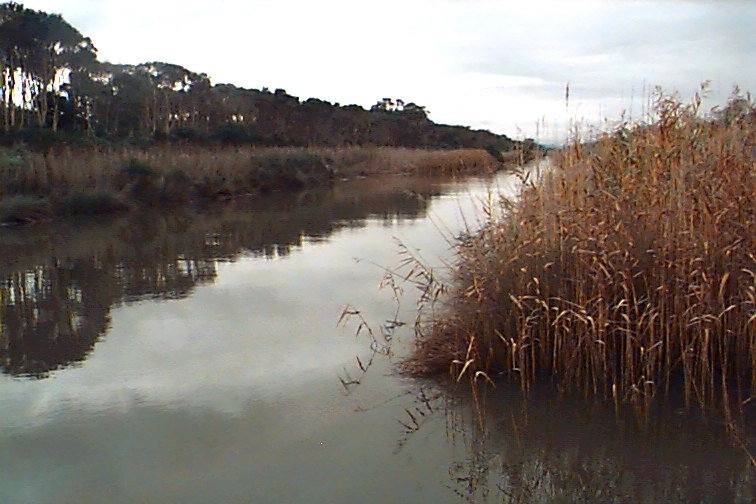
The swamp drains form a rectilinear grid of small and large drains across the flat southern half of the Cardinia Shire, eventually reaching Western Port Bay. They divide what is largely agricultural plots into finite areas with, sometimes, the road bridges and small crossover bridges as the only form of communication. The scale, if not the visual effect, of the project is immense. This drainage scheme was protracted such that today the drains are difficult to date but nevertheless each must be considered as part of one important campaign of achievement.
The following elements in the former Cranbourne Shire area aid in expressing the special nature of this area. They include the drains but also the timber bridges needed to cross them.Contributory elements:
line of old private drains: Toomuc Drain (from the bay approx. 6k along the line of what is now the Cardinia Creek drain) MacGregor's Drain (from the bay along the line of the Bunyip River and then approx. 5K along the Koo-wee-rup Pakenham Road ) - First Public Works Department drainage network which includes: the Bunyip River ( Main Drain) from Western Port Bay to the Bunyip River south of Bunyip, McDonalds Drain (approx. 4k) - the 1893 Village Settlement extent, with in addition: the Yallock Creek (part Number Four Drain) from Western Port Bay to Bayles, with branch Number Five drain; branch drains from Vervale and Five Mile.
- the 1905 `completed system', with added: 5 Mile, 7 Mile, 8 Mile, 9 Mile branch drains; Walkers Drain; Number 6, Number 7 drains; Scanlans Drain, Parish Boundary Drain, Longwarry Drain, Phillips Road Drain, Nine Feet Yallock Drain; Little Yannathan Drain, and other unnamed branch drains {Roberts: 20}.
- State Rivers & Water Supply Commission proposed improvements, c1914-: Northern Boundary Drain; North West & South East Catch Drains, following Main Drain line; embankment creation for the Main Drain near Western Port Bay and general enlargement of branch drains, specifically the Yallock system.
- State Rivers & Water Supply Commission 1917 Works after the 1916 flood: Lang Lang River straight cut.
Other works: Cardinia & Deep Creeks from Western Port Bay to past Rythdale; remnants of dredge and associated tramway bridge (q.v.); paymaster's office, former, Koo-wee-rup (much altered ).
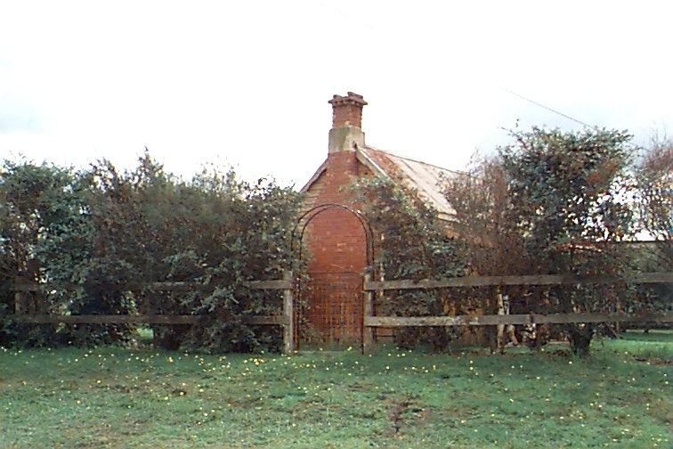
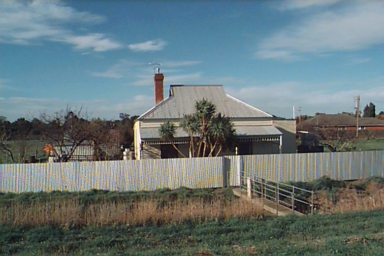
Timber pile bridges: Bridges over the Yallock Creek and Number Four Drain (q.v.), Bayles; Timber bridge, Denham Road, Koo-wee-rup Great Southern Railway timber pile bridges (q.v.) Bridges cited in the Cardinia Shire Heritage Study 1996 Other aspects of the scheme and the landscape created by it include closer and soldier settlement farms and the small cottages which still line the drains north of Koo-wee-rup (see image of McDoalds Drain Road cottage), some with no road frontage- just the drain.
Another is the former works pay office which stands in a much altered state near where Station Street crosses the Main Drain.
Koo-wee-rup swamp drains & timber bridges - Physical Conditions
Some bridge examples have been changed (renewal of the stringer supports, deck or the balustrade). More recently visually unrelated reinforced concrete bridges have replaced timber examples (see at Cora Lynn, near war memorial). The earth lined drains have been progressively added to and upgraded over time but take their original alignments.
Koo-wee-rup swamp drains & timber bridges - Historical Australian Themes
Principal Australian Historical Themes - Engaging in primary production
Historical Subtheme - Other primary industry (orchards, nurseries, market gardens)
Koo-wee-rup swamp drains & timber bridges - Physical Description 2
Associations - Public Works Department , Catani, Carlo, State Rivers and Water Supply Commission
Heritage Study and Grading
Cardinia - Cardinia Shire Heritage Study 1998
Author: Graeme Butler & Associates
Year: 1998
Grading: Local
-
-
-
-
-
The Grange
 Cardinia Shire
 -
Former Koo Wee Rup Cheese Factory
 National Trust
 -
Koo Wee Rup Military Purposes Reserve
 Vic. War Heritage Inventory
-
'Boonderoo', House and Outbuildings
 Greater Bendigo City
 -
'Riverslea' house
 Greater Bendigo City
 -
1 Adam Street
 Yarra City
-
-


