-
Save Search
You must log in to do that.
-
Share Search
-
Download Search
The download will only include records from the current search page. You can increase the number of records to download by changing the number of 'listings per page' at the bottom of this page. Note that the maximum number of records that can be listed per page is 300. The download may exceed the number of records listed as any 'nested' records that have met the search criteria will also download.
Download file (.xls)
Success
Error
-
Save Search
You must log in to do that.
-
Share Search
-
Download Search
The download will only include records from the current search page. You can increase the number of records to download by changing the number of 'listings per page' at the bottom of this page. Note that the maximum number of records that can be listed per page is 300. The download may exceed the number of records listed as any 'nested' records that have met the search criteria will also download.
Download file (.xls)
-
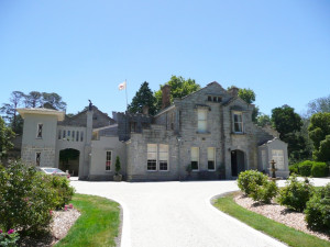
973 ERCILDOUN ROAD ERCILDOUNE, PYRENEES SHIRE

Victorian Heritage Register
VHR H0313Brothers Thomas and Somerville Learmonth founded Ercildoun in 1838. The brothers had been part of an unsuccessful exploration mission into the interior of the colony in 1837, and embarked on…
-
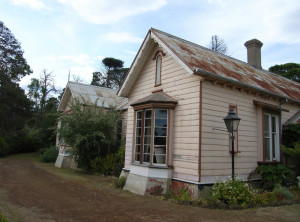
826 WARROCK ROAD WARROCK, GLENELG SHIRE

Victorian Heritage Register
VHR H0295Warrock including the land, all buildings (exteriors, interiors and fixtures), trees, garden and landscape elements, brick lined wells and other features. The registration also includes all…
-
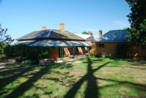
450 NEPEAN HIGHWAY MOUNT MARTHA, MORNINGTON PENINSULA SHIRE

Victorian Heritage Register
VHR H0320This pastoral run was taken up in 1840 by the prominent gentleman colonist Captain James Reid, who called it Checkingurk (or Tichingorook). Georgiana McCrae sketched the property in 1844. In…
Also listed in:
-
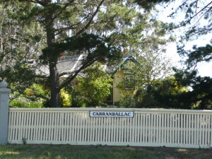
5945 GLENELG HIGHWAY CARRANBALLAC, PYRENEES SHIRE

Victorian Heritage Register
VHR H0424The large station property Carranballac, Skipton, was settled by the pastoralist Andrew Chirnside, who arrived in Australia from Scotland in 1841. With his brother Thomas, Andrew prospered…
-
16 COMO AVENUE SOUTH YARRA, STONNINGTON CITY

Victorian Heritage Register
VHR H0205Como House, a large white mansion prominently sited on a South Yarra hill overlooking the Yarra River, consists of a central block built c. 1855, flanked on the west by a kitchen wing dating…
Also listed in:
-
GLENORMISTON (HOMESTEAD AND FORMER AGRICULTURAL COLLEGE)
333 GLENORMISTON ROAD GLENORMISTON SOUTH, CORANGAMITE SHIRE

Victorian Heritage Register
VHR H1611Glenormiston (Homestead and Former Agricultural College) including a two storey rendered homestead building and interior detailing of the lower and upper entrance hall, Robert Prenzel carved…
-
WOODLANDS HOMESTEAD, STABLES AND OUTBUILDINGS
WOODLANDS DRIVE GREENVALE, HUME CITY

Victorian Heritage Register
VHR H1612Woodlands Homestead is located within the 820 hectare Woodlands Historic Park in Greenvale. The homestead comprises the main house and its associated structures, remnant garden, and…
-
YAN YEAN WATER SUPPLY CATCHMENT RESERVE, CADES LANE YAN YEAN, WHITTLESEA CITY

Victorian Heritage Register
VHR H1420Bear's Castle was constructed in Yan Yean circa 1846 probably by two men, Hannaford and Edwards, who had recently arrived separately from Devon, England. It was built for John Bear an early…
-
16-20 WEBSTERS ROAD TEMPLESTOWE, MANNINGHAM CITY

Victorian Heritage Register
VHR H1395Pontville Homestead was constructed in the 1840s on part of a large 1830s pastoral holding at the confluence of the Yarra Yarra River and the Mullum Mullum Creek by the pastoralist Major…
-
KING STREET AND WILLIAM STREET AND LA TROBE STREET AND DUDLEY STREET WEST MELBOURNE, MELBOURNE CITY

Victorian Heritage Register
VHR H2041Flagstaff Hill including the Flagstaff Gardens occupies an elevated position to the north west of Melbourne's CBD. Consisting of 7.7 hectares, it was originally called Burial Hill by the…
-
2700-3148 POINT NEPEAN ROAD SORRENTO, MORNINGTON PENINSULA SHIRE

Victorian Heritage Register
VHR H1050The British Government's decision to establish a settlement in southern Australia appears to have been prompted by favourable reports of Port Phillip Bay and concerns about the interest of…
-
WELLINGTON PARADE AND LANSDOWNE STREET AND CLARENDON STREET AND ALBERT STREET EAST MELBOURNE, MELBOURNE CITY

Victorian Heritage Register
VHR H1834The Fitzroy Gardens were set aside as a public reserve, then known as Fitzroy Square, in 1848. Partially cleared and fenced during the 1840s and 1850s, it was not until 1859 that the reserve…
-
HODDLE SURVEY TREE, KEW GOLF CLUB
120B BELFORD ROAD KEW EAST, BOROONDARA CITY

Victorian Heritage Register
VHR H2340A remnant River Red Gum tree used as a reference marker by the Government surveyor Robert Hoddle in April 1844 when surveying crown land for the first land sales in Kew in 1845. History…
-
BIRDWOOD AVENUE MELBOURNE, MELBOURNE CITY

Victorian Heritage Register
VHR H1459The Royal Botanic Gardens, commenced in 1846 on the south side of the Yarra River on a site selected by Superintendent Charles La Trobe, are located adjacent to Government House, Melbourne…
-
Wilderness Road, GRITJURK VIC 3315 - Property No 151

Southern Grampians Shire
The Wilderness Homestead complex is in two parts: the original site which is close to the woolshed and overlooks a branch of the Bryant's Creek valley, and the present site which is on…
-
MAJOR MITCHELL'S TRACK AND BLAZED TREE
Woodacres Lane NAREEN, Southern Grampians Shire

Southern Grampians Shire
The site known as Major Mitchell's Track is located on private property 'Cuyuac', in a paddock on the east side of Woodacres Lane. It is approximately 4.5kms north-west of its intersection…
-
MOUNT KOROITE HOMESTEAD (ORIGINAL SITE)
Heffernan Lane COLERAINE, Southern Grampians Shire

Southern Grampians Shire
The original site of Mount Koroite Homestead is located about eight kilometers east of the township of Coleraine, and north of the second homestead, which is located at the top of the hill.…
