-
Save Search
You must log in to do that.
-
Share Search
-
Download Search
The download will only include records from the current search page. You can increase the number of records to download by changing the number of 'listings per page' at the bottom of this page. Note that the maximum number of records that can be listed per page is 300. The download may exceed the number of records listed as any 'nested' records that have met the search criteria will also download.
Download file (.xls)
Success
Error
-
Save Search
You must log in to do that.
-
Share Search
-
Download Search
The download will only include records from the current search page. You can increase the number of records to download by changing the number of 'listings per page' at the bottom of this page. Note that the maximum number of records that can be listed per page is 300. The download may exceed the number of records listed as any 'nested' records that have met the search criteria will also download.
Download file (.xls)
-
SOUTH ROCK ROAD NEWHAM, MACEDON RANGES SHIRE

Victorian Heritage Register
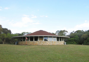
VHR H2339Hanging Rock Reserve is a public reserve of approximately 67.6 hectares (167 acres) located near Woodend. It contains the Hanging Rock geological formation, the woodland that surrounds it…
-
TOWER HILL AND CROSSLEY, MOYNE SHIRE

Victorian Heritage Register
VHR H2114The Tower Hill State Game Reserve is an area of approximately 6.2 sq km, 3 km inland from the coast between Warrnambool and Port Fairy managed by Parks Victoria since 1997. The Reserve…
-
FLINDERS TELEGRAPH CABLE COMPLEX AND PIER
THE ESPLANADE FLINDERS, MORNINGTON PENINSULA SHIRE

Victorian Heritage Register
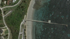
VHR H2413Flinders Telegraph Cable Complex and Pier was established in the 1860s and provided an essential telegraphic link between mainland Australia and Tasmania for seven decades. Evidence of the…
-
MOUNT ROUSE AND CRATER RESERVE
Mount Rouse Tourist Road PENSHURST, Southern Grampians Shire

Southern Grampians Shire
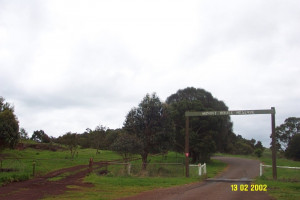
The Mount Rouse Crater reserve is located at the Termination of the Mount Rouse Tourist Road, approximately five kilometers south of the township of Penshurst. The reserve consists of…
-
Canning St. Avondale Heights to Burke Rd. BRAYBROOK, Maribyrnong City

Maribyrnong City
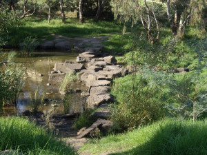
The Canning Street Ford is of local historical significance as one of the first crossing places of the Maribyrnong River for European settlers from 1835 onwards. It is recorded in the first…
-
DERRINAL ESTATE (HOMESTEAD, COTTAGE & HILL'S GLACIATED PAVEMENTS)
345 HILLS ROAD, DERRINAL - PROPERTY NUMBER 216161, GREATER BENDIGO CITY

Greater Bendigo City
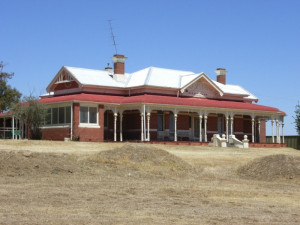
The property at 345 Hills Road Derrinal is of significance. It includes the brick house of 1905, and a timber cottage c.1850s. Other outbuildings are not of significance. How is it…
-
Chinese Diggings Historic Reserve and White Hills Geological Reserve
CA 240L Heywood Street, EAST BENDIGO VIC 3550 - Property No 235244

Greater Bendigo City
H7724-0001; H7724-0247Historic, Social and Scientific Significance on a Regional level (H7724-0247) Not specifically assessed. Considered as 'best remaining examples of early Chinese and European mine shafts in…

