-
Save Search
You must log in to do that.
-
Share Search
-
Download Search
The download will only include records from the current search page. You can increase the number of records to download by changing the number of 'listings per page' at the bottom of this page. Note that the maximum number of records that can be listed per page is 300. The download may exceed the number of records listed as any 'nested' records that have met the search criteria will also download.
Download file (.xls)
Success
Error
-
Save Search
You must log in to do that.
-
Share Search
-
Download Search
The download will only include records from the current search page. You can increase the number of records to download by changing the number of 'listings per page' at the bottom of this page. Note that the maximum number of records that can be listed per page is 300. The download may exceed the number of records listed as any 'nested' records that have met the search criteria will also download.
Download file (.xls)
-
Dethridge Irrigation Wheel and Water Channel
Fisken Street MADDINGLEY, MOORABOOL SHIRE

Moorabool Shire
A characteristic irrigation wheel installed within the agricultural irrigation system over the Werribee and Lerderderg Rivers alluvial plain farmlands. They were invented by Charles Dethridge…
-
Lime Kilns - Merrimu Reservoir
CA75,76,76A&B, 80 Gisborne Road COIMADAI, MOORABOOL SHIRE

Moorabool Shire
SIGNIFICANCE: TYPE : HISTORICAL. ARCHITECTURAL. SCIENTIFIC
-
Rock Cut Tunnel, ford and water race (Break Neck Gully, via Ambler Lane Track)
Ambler Lane, MOORABOOL SHIRE

Moorabool Shire
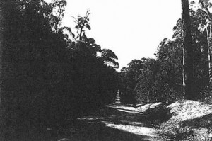
A water race in Lerderderg Gorge with sections rock-cut, mortared freestone, earth-walled channel and possibly once on timber races. There is a rock-cut tunnel at Tunnel Point, a ford and hut…
-
WESTERN FREEWAY and BACCHUS MARSH ROAD MERRIMU HOPETOUN PARK, MOORABOOL SHIRE

Moorabool Shire
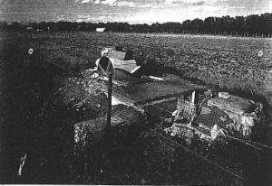
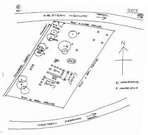
VHR H2059An early, pre-gold rush Catholic cemetery and chapel established in 1850-51, which closed in 1941, with the ruins of an early Catholic chapel and school, which closed in 1874. The cemetery…
-
Lerderderg River engineering works.
Holts Lane to Wheelans Road BACCHUS MARSH, MOORABOOL SHIRE

Moorabool Shire
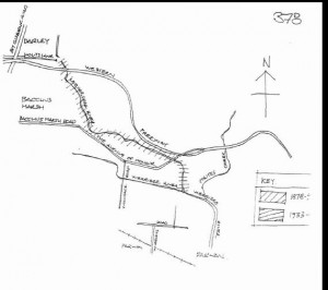
Engineering earth works by the Shire council from 1878-90 and from 1933 to formalise a channel for the Lerderderg River through the town to reduce flooding and reclaim marshland for…


