-
Save Search
You must log in to do that.
-
Share Search
-
Download Search
The download will only include records from the current search page. You can increase the number of records to download by changing the number of 'listings per page' at the bottom of this page. Note that the maximum number of records that can be listed per page is 300. The download may exceed the number of records listed as any 'nested' records that have met the search criteria will also download.
Download file (.xls)
Success
Error
-
Save Search
You must log in to do that.
-
Share Search
-
Download Search
The download will only include records from the current search page. You can increase the number of records to download by changing the number of 'listings per page' at the bottom of this page. Note that the maximum number of records that can be listed per page is 300. The download may exceed the number of records listed as any 'nested' records that have met the search criteria will also download.
Download file (.xls)
-
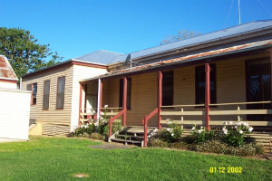
Glendinning Road, ROCKLANDS VIC 3401 - Property No 10125

Southern Grampians Shire
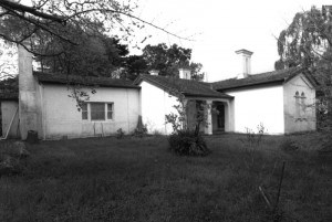
The Glendinning Homestead complex, named after one of its first owners, Christopher Glendinning, is located on the Pendyk Creek at the southern end of Rocklands Dam and approximately 15.0kms…
-
Scott Street Barker Street CAVENDISH, Southern Grampians Shire

Southern Grampians Shire
The Bunyip Hotel, a single storey rendered brick building, is located on the corner of Scott and Barker Street, in the central of the township of Cavendish. The hotel has been located on the…
-
MELVILLE FOREST HOMESTEAD COMPLEX
Cavendish-Coleraine Road MELVILLE FOREST MELVILLE FOREST, Southern Grampians Shire

Southern Grampians Shire
Melville Forest Homestead complex is located north of the intersection of the Cavendish-Coleraine Road, overlooking Hawkins Creek. An early subdivision off the great Koonong Wootong run,…
-
off Old Cemetery Rd off Bellicourt Road DUNKELD, Southern Grampians Shire

Southern Grampians Shire
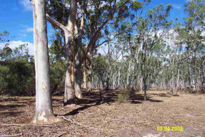
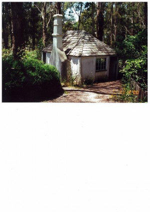
The abandoned hut, one of at least two formerly associated with the Devon Park squatting run, is located in the southern end of an unmade road off Old Cemetery Road, Dunkeld and about 1.3kms…
-
Glenelg Highway COLERAINE, Southern Grampians Shire

Southern Grampians Shire
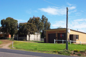
The township of Coleraine is located on the Hamilton Highway, 30.0 km west of Hamilton. The town developed at the road crossing of Bryant's Creek, particularly for traffic between Adelaide,…
-
Mokanger Road, CAVENDISH VIC 3314 - Property No 0080

Southern Grampians Shire
The Mokanger Homestead complex, comprising the remaining second homestead (with many later additions) and the stables, is located on the north side of Mokanger Road about 8.0kms east of the…
-
HONEYSUCKLE CREEK ROAD BRIDGE (FORMER)
Glendinning Road ROCKLANDS, Southern Grampians Shire

Southern Grampians Shire
The former Honeysuckle Creek Road Bridge is usually located under the water level of Rocklands Reservoir. Its location is to the south side of the Glendinning Road, near the entrance to the…
-
Old Henty Highway GLENISLA, Southern Grampians Shire

Southern Grampians Shire
The former Barnes Honey site is located some distance off the Old Henty Highway, about 2.5kms north of the intersection with the new Henty Highway. There may be archaeological potential at…
-
MOUNT ROUSE ABORIGINAL PROTECTORATE (FORMER)
Martin Street Cox Street, PENSHURST VIC 3289 - Property No 0024

Southern Grampians Shire
Charles La Trobe, Superintendent of the Port Phillip District established the Mount Rouse Aboriginal Protectorate in early 1842 at what would become the township of Penshurst. On behalf of…
-
71 King Street HAMILTON, Southern Grampians Shire

Southern Grampians Shire
SIGNIFICANCE: »Represents one of the minor denominations in Hamilton. STATEMENT OF SIGNIFICANCE Seventh Day Adventist Church 71 King Street Built on land originally outside the city's…
-
PRESTON GENERAL CEMETERY AND MAUSOLEUM
900 PLENTY ROAD, BUNDOORA, DAREBIN CITY

Darebin City
Preston General Cemetery, Plenty Road, Bundoora dates from 1864, when one acre of the Strathallan Estate was donated by McLean for a cemetery to be managed by cemetery trustees. It was…
-
Digby Road HAMILTON, Southern Grampians Shire

Southern Grampians Shire
SIGNIFICANCE: Site of first permanent settlement in the district. STATEMENT OF SIGNIFICANCE Archaeological Site Digby Road This area has local significance as an important archaeological…
-
Maribyrnong Street FOOTSCRAY, Maribyrnong City

Maribyrnong City
The Footscray wharves area is of historical and social significance to the City of Maribyrnong as it was one of the earliest port developments in Melbourne having been used as a primitive…
-
Melbourne Meat Preserving Co - Hume Pipe Co
Van Ness Avenue MARIBYRNONG, Maribyrnong City

Maribyrnong City
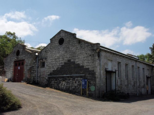
VHR H1503The place is of national historical, social and architectural significance as some of the oldest and most substantial early industrial structures associated with at least five different…
-
1260-1398 Diggers Rest to Coimadai Road TOOLERN VALE, Melton Shire

Melton City
Greenhills, Toolern Vale, is significant as a predominantly intact example of a Federation style homestead built by Walter Browne in c.1903. The setting of the homestead (including…
-
HO60 - Mount Aitken Site & Ruin
740-794 Mt Aitken Road DIGGERS REST, Melton Shire

Melton City
The Mount Aitken Site and Ruin, 740-749 Mt Aitken Road, Diggers Rest, is of at least local heritage significance as a major nineteenth century stud property under John Aitken and Henry…
-
MT. ARARAT PRE-EMPTIVE RIGHT HOUSE, TREES
125 Mt Ararat Road North PAKENHAM, Cardinia Shire

Cardinia Shire
The Mt. Ararat pre-emptive right house, which may date in part from the 1850s-1860s (after the district pioneer, John Dore secured the pre-emptive right) is significant to the Cardinia Shire…
-
HO82 - Melton Valley Golf Course
Yuille Street and Melton Valley Drive MELTON, MELTON SHIRE

Melton City
H7822-2281The Melton Valley Golf Course, Yuille Street, is significant for the variety of locally important historical themes and events that are associated with the place, and with the remnant fabric…
-
HO124 - Grave, Ruin & Archaeological Site, Former Greenhills Pastoral Station
36-49 O'Connell Avenue TOOLERN VALE, Melton Shire

Melton City
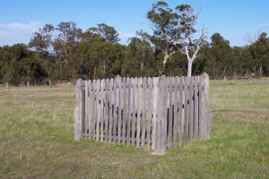
The grave, ruin and archaeological site associated with the former Greenhills pastoral station, situated at 36-49 O'Connell Avenue Toolern Vale, are significant for their association with the…
-
off South Gibbsland Highway MONOMEITH, Cardinia Shire

Cardinia Shire
The Old Yallock sites, distributed along the Yallock Creek to the bay, have potential significance to the Gippsland region and depending on their extent, the State: because of their age and…
-
Old Footscray Township Residential Area
Cowper, Bunbury, Hyde, Talbot and Whitehall Streets FOOTSCRAY, Maribyrnong City

Maribyrnong City
Statement of Significance The Old Footscray Township Residential Precinct is significant to the City because: - of the distinct building groups and other early fabric in the precinct express…
-
Yarraville Civic and Commercial Area
Part Melbourne to Williamstown railway, Anderson, Ballarat, Canterbury, Goulburn, Murray, Simpson, Tarrengower, Wills and Woods Streets (or parts) YARRAVILLE, MARIBYRNONG CITY

Maribyrnong City
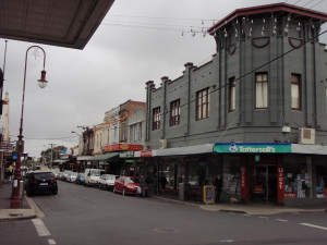
Statement of Significance The Yarraville Civic and Commercial precinct is significant to the Western Region of Melbourne because: - of the architecturally regionally significant commercial…
-
Yarraville Residential Heritage Area
Somerville Rd, Melbourne to Geelong railway, Avoca, Castlemaine, Woods, Willis, Simpson, Ballarat, Blackwood, Norfolk, Sussex, Stephen, Ducker, Goulburn, Lennox, Maggie, Ovens, Schild, Tarrengower, Wilson and Knox Streets YARRAVILLE, MARIBYRNONG CITY

Maribyrnong City
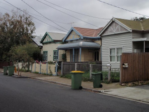
Statement of Significance The Yarraville Residential Precinct is significant to the City of Maribyrnong because: - it (with the Yarraville Commercial & Civic precinct) is expressive of…
-
8 Gordon Grove and 103 Caroline Street SOUTH YARRA, Stonnington City

Stonnington City
VHR H0809Please refer to the Heritage Victoria VHR place record and the individual attachments to this record (search for VHR# H0809)
Also listed in:
-
12 SILKSTONE ROAD, and SOUTH GIPPSLAND HIGHWAY, KORUMBURRA, SOUTH GIPPSLAND SHIRE

South Gippsland Shire
The Wattle and Daub cottage, originally constructed in c.1842, and later moved to Coal Creek Community Park & Museum. Why is it significant?The Wattle and Daub cottage is of local…


