-
Save Search
You must log in to do that.
-
Share Search
-
Download Search
The download will only include records from the current search page. You can increase the number of records to download by changing the number of 'listings per page' at the bottom of this page. Note that the maximum number of records that can be listed per page is 300. The download may exceed the number of records listed as any 'nested' records that have met the search criteria will also download.
Download file (.xls)
Success
Error
-
Save Search
You must log in to do that.
-
Share Search
-
Download Search
The download will only include records from the current search page. You can increase the number of records to download by changing the number of 'listings per page' at the bottom of this page. Note that the maximum number of records that can be listed per page is 300. The download may exceed the number of records listed as any 'nested' records that have met the search criteria will also download.
Download file (.xls)
-
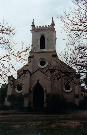
1 Burgundy Street HEIDELBERG, Banyule City

Banyule City
VHR H0197SIGNIFICANCE: St John's Church of England, Burgundy Street, Heidelberg is of state architectural and historical significance. The building is an important, very early church, one of the…
-
CASTLEMADDIE HOMESTEAD COMPLEX
7073 PRINCES HIGHWAY, TYRENDARRA, GLENELG SHIRE

Glenelg Shire
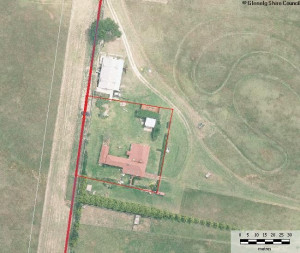
Castlemaddie Homestead Complex is located on the east side of Darlot's Creek near the township of Tyrendarra. The complex consists of three separate sites, two located on the original…
-
18 OLD CEMETERY ROAD, CASTERTON, GLENELG SHIRE

Glenelg Shire
The Casterton Old Cemetery is located in a nine acre reserve five kilometres west of the centre of the township of Casterton, in Old Cemetery Road. It is Casterton's first Cemetery, although…
-
107 BLOWHOLES ROAD, CAPE BRIDGEWATER, GLENELG SHIRE

Glenelg Shire
Stony Hill is located on an unmade road which is the southerly extension of Blowholes Road, approximately 1.5km south of Cape Bridgewater township. The house is a collection of several…
-
CASTERTON CHURCH AND RESIDENTIAL PRECINCT (WEST HILL)
HENTY STREET, CASTERTON, GLENELG SHIRE

Glenelg Shire
The Casterton Church and Residential Precinct (West Hill) is located along the Glenelg Highway, west of the central shopping area, overlooking the township. Generally, the built fabric shows…
-
157 OAKBANK LANE, HEYWOOD, GLENELG SHIRE

Glenelg Shire
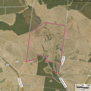
Oakbank Homestead, one of the oldest and most complete homestead complexes in the further Western District, is located 5.5kms due north of Heywood on the southern side of Mount Eckersley.…
-
NATIVE POLICE BARRACKS (FORMER)
OFF OAKBANK LANE, LOT 7 PS437883, HEYWOOD, GLENELG SHIRE

Glenelg Shire
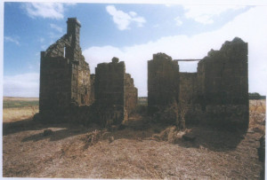
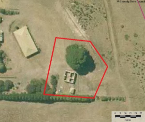
The stone ruin (on Allotment 2, Section 7, Parish of Drumborg) located 7.5km due north of Heywood between Drumborg and Mount Eckersley, is almost certainly the Native Police Barracks or,…
-
NELSON-WINNAP ROAD, DRIK DRIK, GLENELG SHIRE

Glenelg Shire
The small settlement at Drik Drik on the Nelson-Winnap Road, located approximately 8kms due south of Dartmoor and 35kms north-west of Heywood, was established in the mid-1860s as a result of…
-
65 BLOWHOLES ROAD, CAPE BRIDGEWATER, GLENELG SHIRE

Glenelg Shire
The Cape Bridgewater Homestead ruins are located on the Cape, overlooking Bridgewater Bay. Little remains of the stone house other than the main walls. It was single storey, symmetrical and…
-
LAL LAL HOMESTEAD & HEDDITCH PRIVATE CEMETERY
105 BRIDGEWATER LAKES ROAD, CAPE BRIDGEWATER, GLENELG SHIRE

Glenelg Shire
The Hedditch private cemetery is located near Lal Lal Homestead, off Bridgewater Lakes Road, at Lower Cape Bridgewater. There may have been an intention to create an aesthetic relationship…
-
BUCKINGHAM ST, CLARKE ST, COLDHAM ST, MCLEAN ST, RUSSELL ST, SIMPSON ST, and BOWEN ST, DIGBY, GLENELG SHIRE

Glenelg Shire
The present township of Digby, located on the Portland-Casterton Road, dates from the early 1860s and appears to have pre-empted the closer settlement afforded by the Land Selection Acts by…
-
PRINCES HIGHWAY, DARTMOOR, GLENELG SHIRE

Glenelg Shire
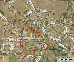
Dartmoor is a small village, located on the Glenelg River, on the Princes Highway. The town itself is small, and now predominately residential. Greenham Street and Wapling Avenue have long…
-
STRATHDOWNIE HOMESTEAD COMPLEX
DURBRIDGES LANE, STRATHDOWNIE, GLENELG SHIRE

Glenelg Shire
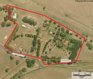
The Strathdownie Homestead Complex, located at the intersection of the Glenelg Highway and Johnston Road, Strathdownie was established as a squatting run as early as 1845 by Captain Charles…
-
438 RUNNYMEDE ROAD, SANDFORD, GLENELG SHIRE

Glenelg Shire
Runnymede Homestead is a single storey asymmetrical dwelling comprised of at least three sections. It faces east and is set within an extensive garden. This historic Western District sheep…
-
27 WARROCK ROAD, WARROCK, GLENELG SHIRE

Glenelg Shire
Roseneath Homestead Complex is located overlooking the Glenelg River, approximately two kilometres north of the intersection of the Casterton-Apsley Road and the Warrock Road, near the…
-
MERINO DOWNS HOMESTEAD COMPLEX
5022 HENTY HIGHWAY, HENTY, GLENELG SHIRE

Glenelg Shire
The Merino Downs squatting run, along with Muntham and Sandford, was one of the first three established in the Port Phillip district of New South Wales following the encounter between the…
-
366 CASTERTON-EDENHOPE ROAD, WANDO VALE, GLENELG SHIRE

Glenelg Shire
The Wando Vale Homestead site is located on the east side of a hill, between the Casterton-Edenhope Road and Hardie's Road, approximately 500m south east of the intersection of the Satimer…
-
919 BRIDGEWATER ROAD, PORTLAND WEST, GLENELG SHIRE

Glenelg Shire
Trewalla Springs Farm is located on the Bridgewater Road, some 10km east of the township of Bridgewater. The principal features of the farm include: The main house, a single-storey…
-
2029 DARTMOOR-HAMILTON ROAD, DIGBY, GLENELG SHIRE

Glenelg Shire
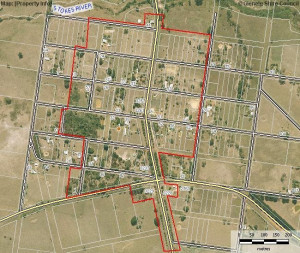
Rifle Downs Homestead overlooks the Stokes River and is located at 2029 Dartmoor-Digby Road, Digby approximately 7.5km south-west of Digby and 19.0km north-west of Dartmoor. Rifle Downs…
-
High Street,MERINO, Glenelg Shire

Glenelg Shire
The present township of Merino, located on the Portland -Casterton Road, dates from the early 1840s and appears to have pre-empted the closer settlement afforded by the Land Selection Acts…
-
YANNARIE CHEESE & BUTTER FACTORY
7533 PRINCES HIGHWAY, TYRENDARRA, GLENELG SHIRE

Glenelg Shire
The Yannarie Cheese and Better Factory is a large stone building, constructed of locally quarried and collected stone, including some bluestone and some limestone. It is located…
-
Hazel Glen Homestead (complex)
325 Middle Hut Rd Doreen, NILLUMBIK SHIRE

Nillumbik Shire
HERITAGE VALUE 2005 - local SIGNIFICANCE ASSESSMENT What is significant? Fabric & trees associated with: - the Victorian & Edwardian-eras - Patrick Reid, William Reid, Reid family…
-
ALLUVIAL GOLD MINING REMAINS, END BLUE HOUSE ROAD
125 BLUE HOUSE ROAD PANTON HILL, NILLUMBIK SHIRE

Nillumbik Shire
REVISED STATEMENT OF SIGNIFICANCE, CONTEXT, 2009 All gold mining remains (mullock heaps, shaft remains, evidence of excavations and eroded gullies) and the surrounding site to a radius of 20…
-
APTED WEATHERBOARD HOUSE AND ADJACENT FORGE, 2) 1920s/1930s HOUSE AND 3) MATURE EXOTIC PLANTING
860 COTTLES BRIDGE-STRATHEWEN RD ARTHURS CREEK, NILLUMBIK SHIRE

Nillumbik Shire
REVISED STATEMENT OF SIGNIFICANCE, CONTEXT, 2010 The weatherboard house, in particular the fabric dating to c1913, its underground tank and contemporaneous outbuildings and the surrounding…
-
BLUESTONE COTTAGES & FORMER MORAN & CATO STORE
197-199 EDWARD STREET, and 119 LYGON STREET, BRUNSWICK, MORELAND CITY

Merri-bek City
The bluestone cottages at 197-199 Edward Street and the bluestone shop at 119 Lygon Street, Brunswick. How is it significant? The bluestone cottages at 197-199 Edward Street, Brunswick are…
